HOME PAGE
WHAT'S NEW?
JUNIOR PAGE
COACHING
WHAT IS
ORIENTEERING?
GALLERY
MAPPED AREAS
EVENTS DIARY
RESULTS
SOLUS
CLUB POLICIES
HOW TO JOIN
LINKS
COMMENTS FORM

THE HEADLESS CHICKEN PAGES
Mabie Forest
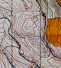
Grid Reference NX 948 710
Surveyed and mapped in 1991. Updated 2010 and 2011
Owned by Forest Enterprise.
Mabie is central for the majority of Solway members and has been a favourite venue for many years. Extensive recent wind damage and felling limit course planning opportunities but it is still possible to provide courses for all abilities. Those who have attended Solway's "Knoll Bagging" competition will know that certain areas of Mabie have more their fair share of knolls. Competitors at more conventional events may have experience of the notorious cairn (or wish they had!) which has proved elusive to many.
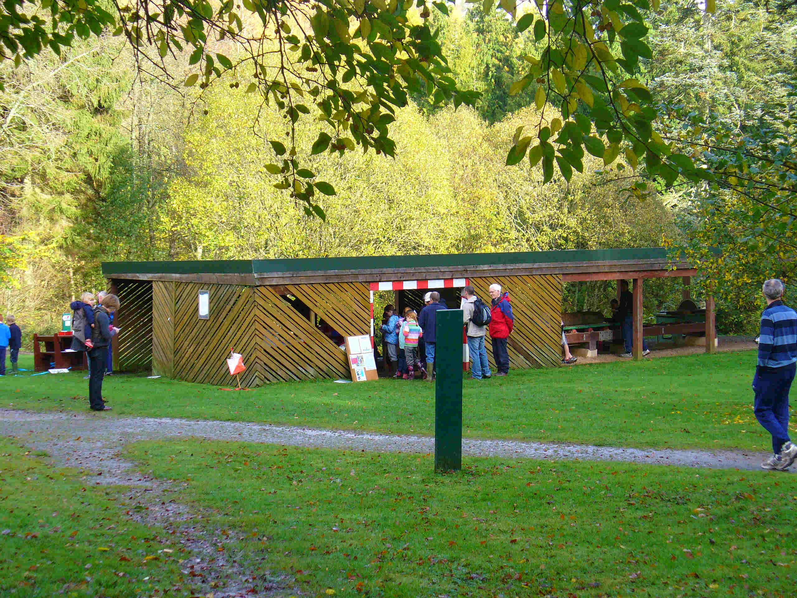
Most orienteering events which take place in Mabie Forest start from the saw mill.
@ Crown Copyright. All rights reserved. PU 43423U. BOF Map registration number:- 0158SO