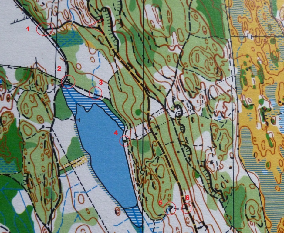
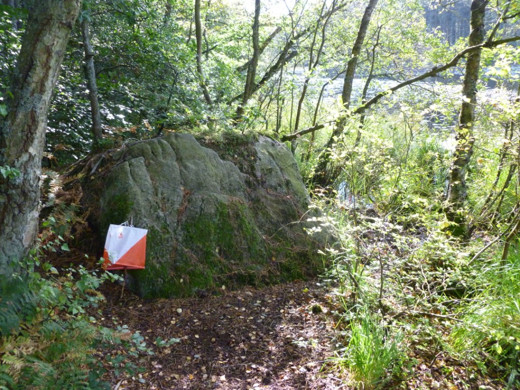
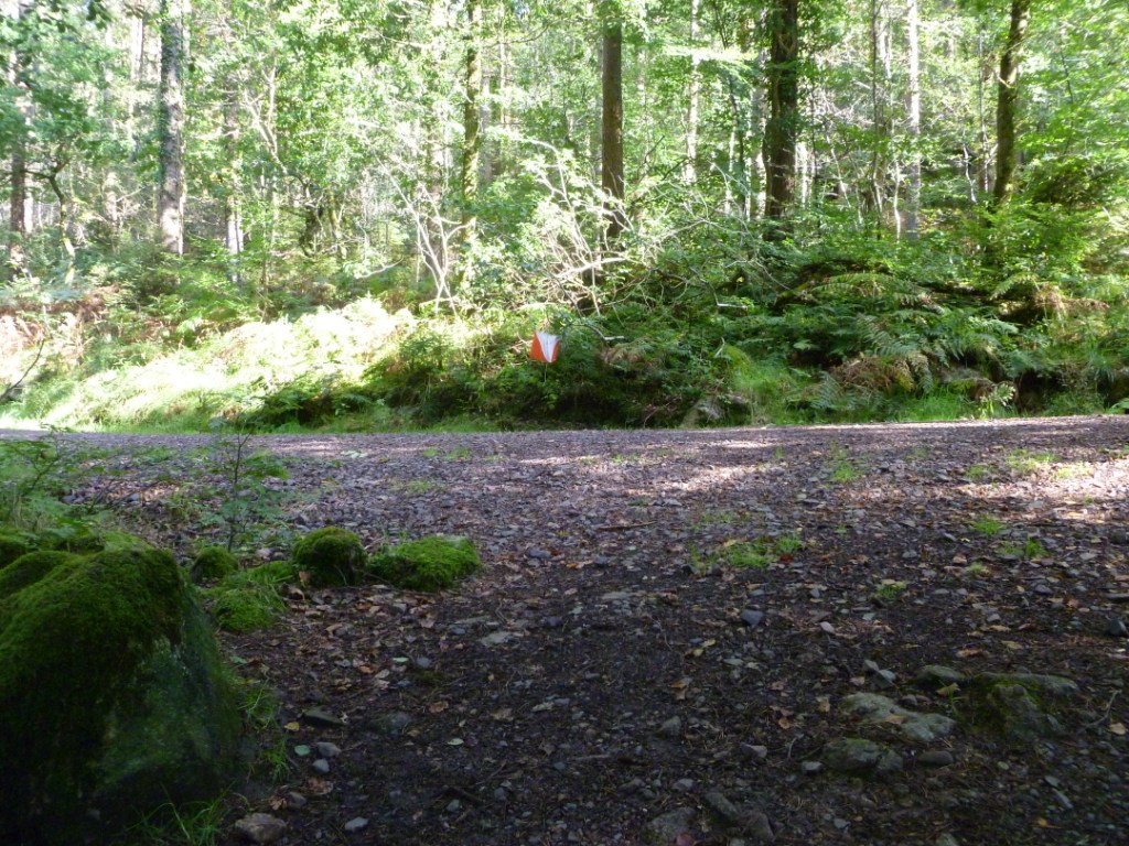
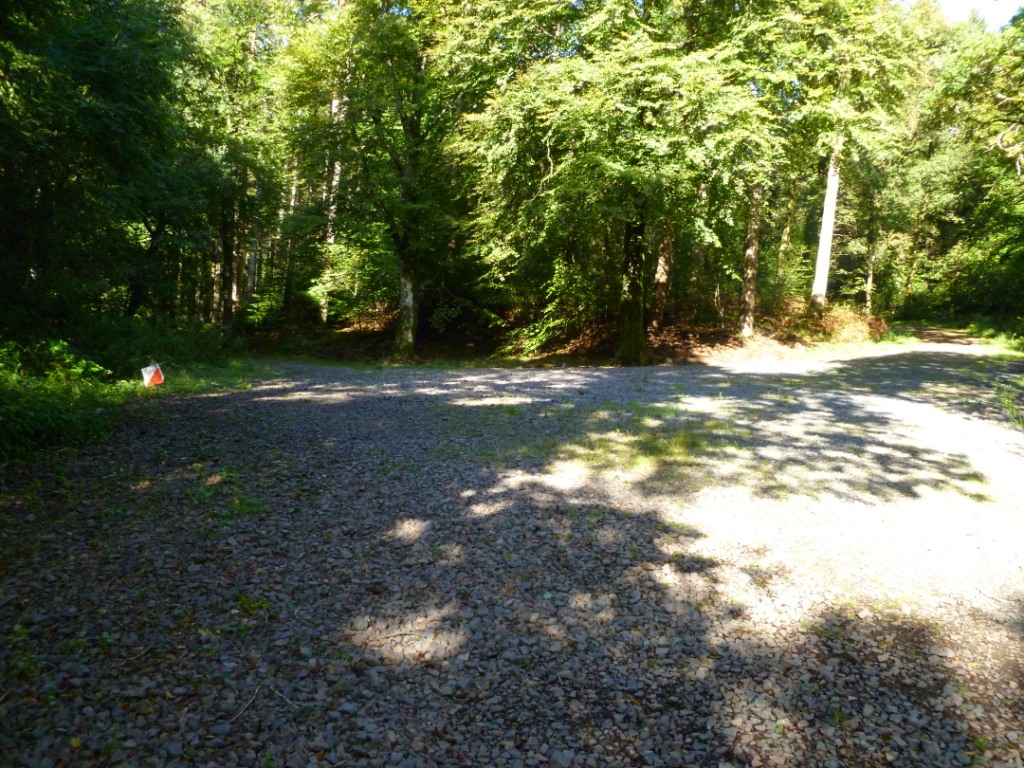
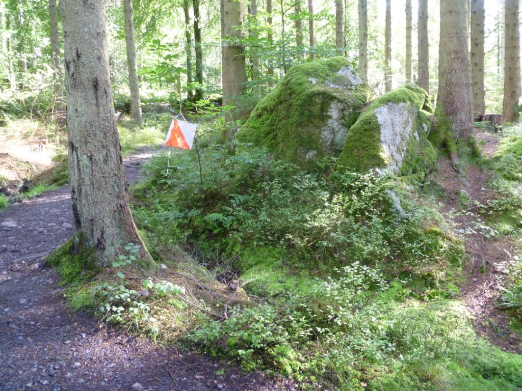
On this web page there are eight photos all taken on an orienteering course. Have a good look at the photos and notice as many features as you can then scroll
down the page and look at the map. See if you can correctly match the photos to the control sites. You will have to look at the photos carefully to spot all of the
clues. Take your time as the start and the finish are the same location but taken from the angles which you would see them if you were to go round this course.
Use this link to see the map in a new browser window.
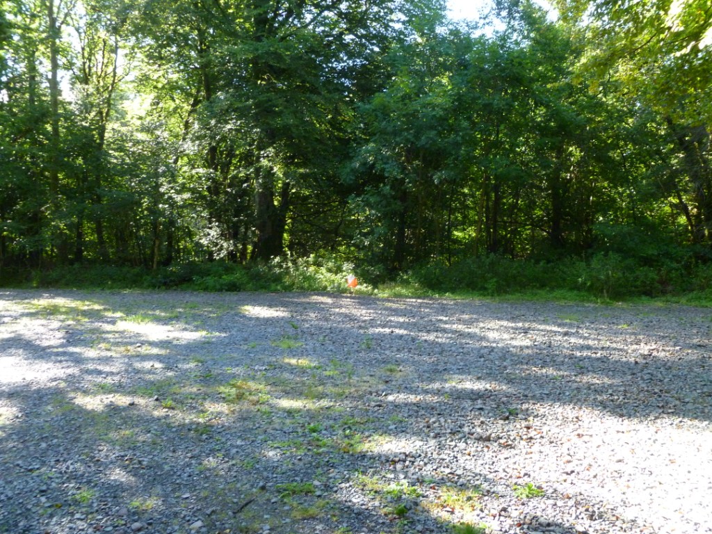
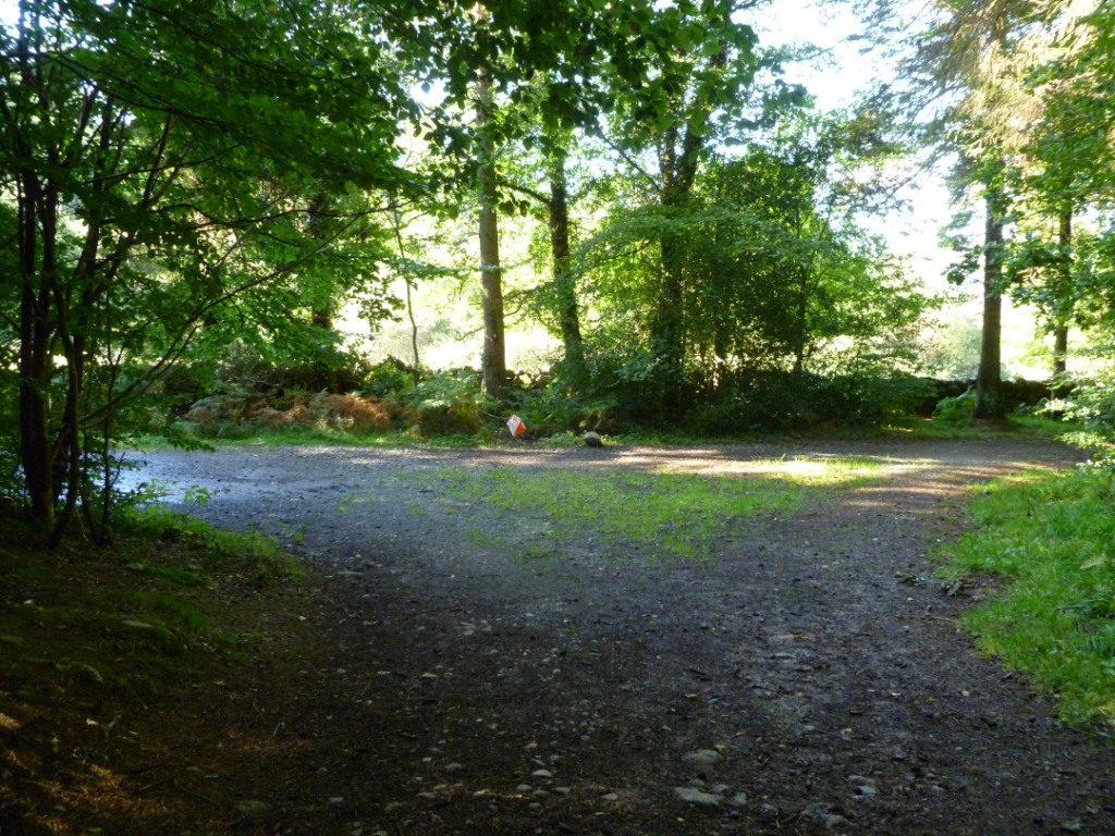
To help you here is the first photo. It is of the start as you would see it at the begining of the course. The control is a bit difficult to see but is on the
far side of the gravel.
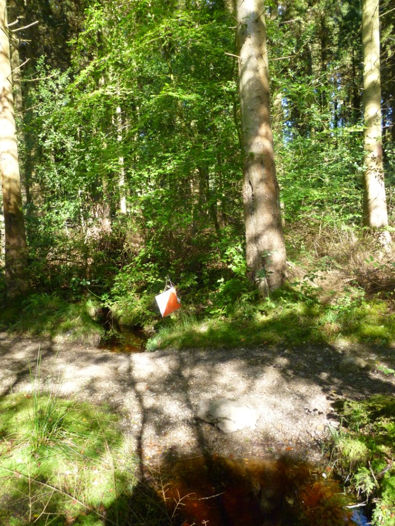
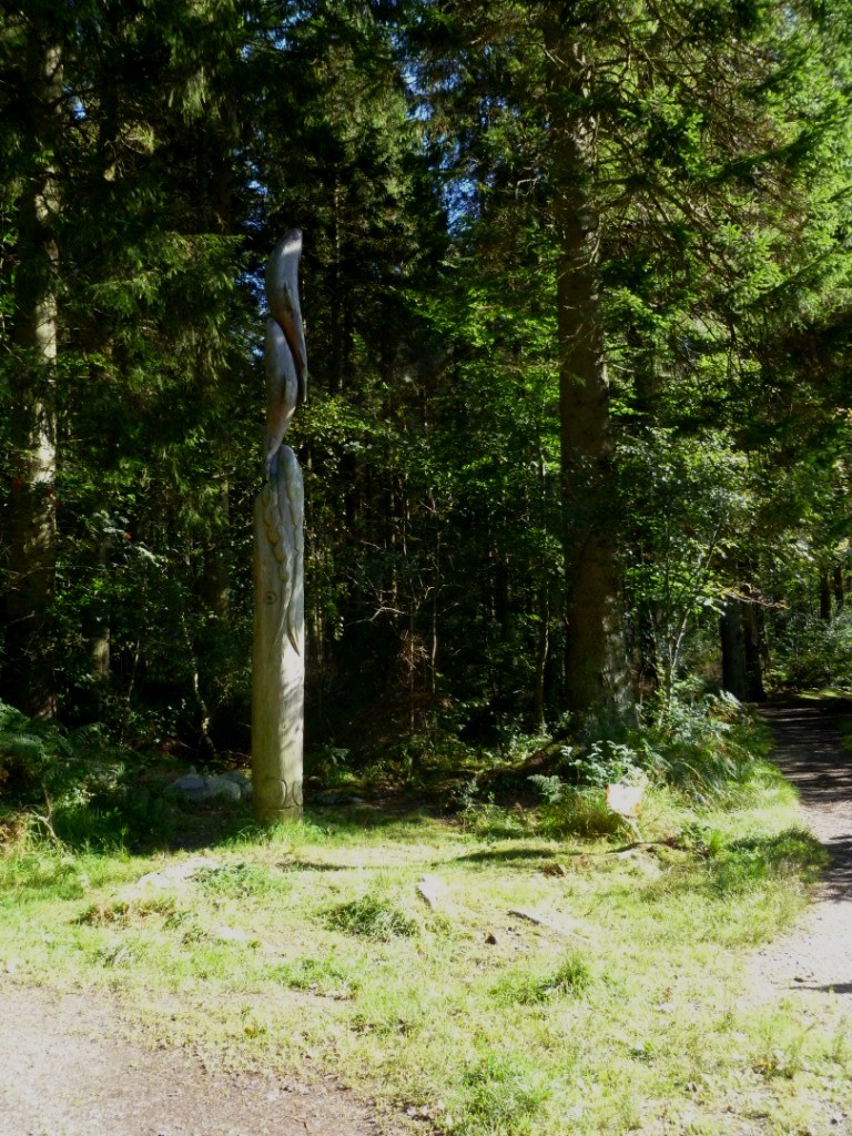
Now see if you can work out where this photo was taken.